
 By
By 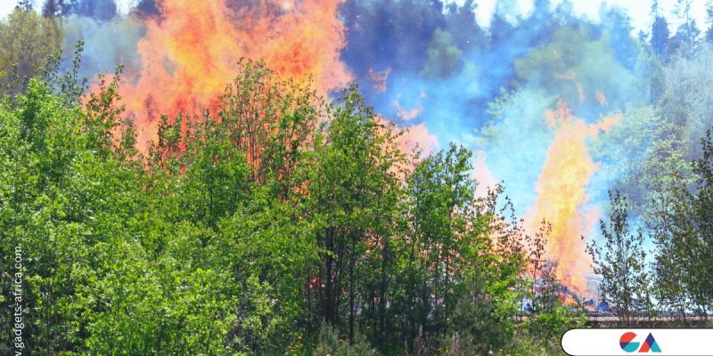
Google has launched its Wildfire Boundary Tracker in Kenya, marking a significant step in leveraging technology for disaster management. This AI-powered tool aims to provide real-time information on wildfire boundaries, aiding in quicker and more efficient responses.
Key Features of the Wildfire Boundary Tracker
Real-Time Updates
- The tool offers accurate, up-to-date information on wildfire boundaries directly in Google Search and Maps.
- It uses advanced AI to analyze satellite imagery and other data sources.
Multi-Language Support
- Designed to cater to diverse populations, the tool supports multiple languages.
- Complements existing emergency response efforts by providing additional protection for at-risk communities.
Global and Local Impact
Global Expansion
- The tracker is available in 16 other countries, including France, Italy, Greece, and Kenya.
- This expansion comes amidst a global surge in wildfires.
Local Statistics
- In Kenya, fires have caused 0.60% of tree cover loss between 2001 and 2023.
- There have been 341 high-confidence fire alerts reported in Kenya in 2024.
Google’s Wildfire Boundary Tracker is a crucial tool in enhancing wildfire management and safety measures. By providing timely information, it helps communities protect themselves from the devastating impacts of wildfires.




Solid experience so far. The community is helpful and the site layout is very intuitive. If you are looking for quality and reliability then brkk123 is the way to go.
I’ve tried a few sites lately, but the interface here is just so smooth. Had no issues getting my account set up. Definitely worth checking out 888garne33login